German diode lasers, developed by Fraunhofer Institute for Laser Technology ILT in Aachen, may one day map the hills and valleys of Mercury's landscape.
The institute has been asked by Tesat Spacecom to build a prototype diode pump for a laser altimeter. If they win the full contract, the lasers would be launched in 2013 as part of the European Space Agency’s BepiColombo mission.
To do this, the laser directs a beam of light to a point on Mercury's surface, and the time it takes for the beam to reflect back determines the distance. By scanning the landscape in this may, it is possible to form an accurate 3D map of the planet, detailing the size and depth of craters and mountains.
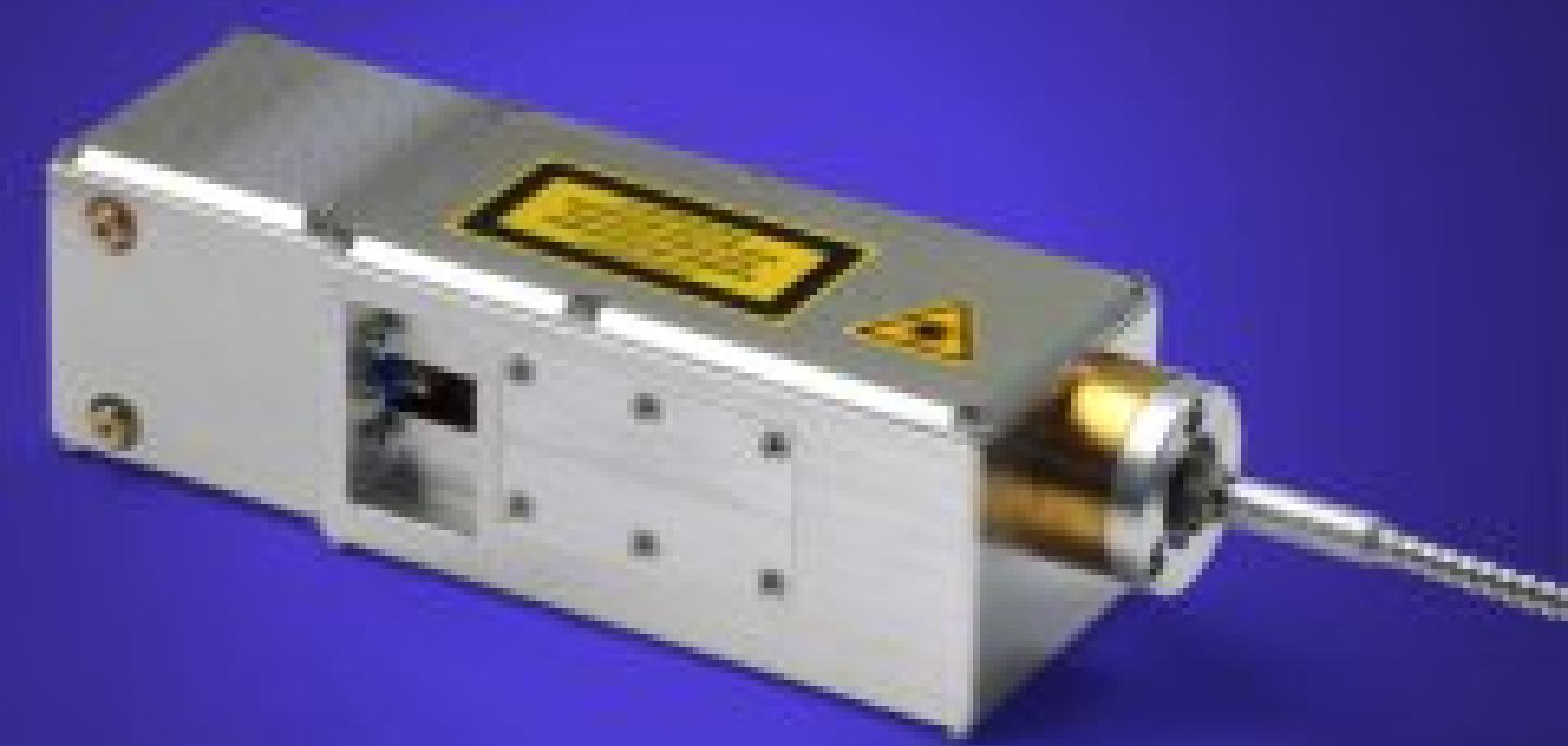
'The biggest challenge was to make the laser module as light and compact as possible, while producing as great an output as possible,' says Martin Traub, who led the development team at the ILT.
The laser module has an output of 530W, and weighs just 650g with a footprint of only 15 x 5 x 5cm. This is very compact – most lasers of this power would be the size of a shoebox and weigh about 5000g.
Lasers of this power also produce a lot of excess heat, so cooling the laser was also a challenge. Normally they would be cooled with water, but this is not possible in space. To solve this, Traub’s team have used a highly efficient conductor which will carry the heat away to the surface of the satellite.
In addition, lasers do not work reliably in vacuum environments, so the laser will need to be sealed in a package at atmospheric pressure to ensure it functions in a stable way.