A four-year archaeological survey of Stonehenge using techniques including laser scanning has uncovered new areas of interest among the prehistoric standing stones. Tom Eddershaw and Jessica Rowbury report
Digital mapping has revealed previously unknown areas of interest around the site of Stonehenge, a monument of standing stones in Wiltshire, England. Old and new methods have been combined to create the latest data in a survey that spanned four years.
Remote sensing techniques, which included laser scanning among others, were used to complement more traditional survey methods, such as aerial photography, in the hope of better understanding one of the world’s most mysterious Neolithic monuments.
The collaborative Stonehenge Hidden Landscapes Project was led by the Visual and Spatial Technology Centre division of the University of Birmingham, in conjunction with the Ludwig Boltzmann Institute for Archaeological Prospection and Virtual Archaeology, and the Universities of Bradford and St Andrew’s.
A number of different techniques were employed for the archaeological survey as the underground geology varies considerably, explained Dr Chris Gaffney, head of archaeological sciences at the University of Bradford. ‘In general, we don’t have one technique that will capture or identify all types of archaeological features, so you could, in theory, go across the landscape with one technique and only find 50 per cent of the information that is buried there,’ he said. ‘This is because archaeological materials in the ground, whether they are pits or walls, exhibit different types of contrasts.’
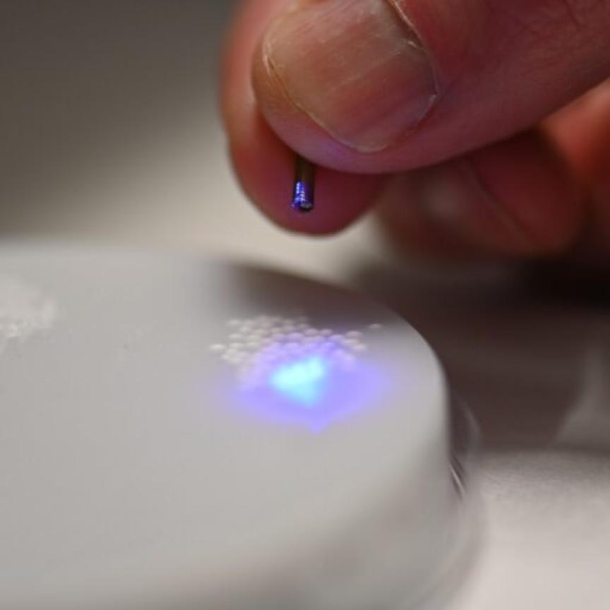
Laser scanning and airborne imaging methods were two of several that helped the team create the most detailed archaeological map of the area ever produced.
Seventeen previously unknown ritual monuments and dozens of burial mounds have been mapped during the survey. These include a long burial mound dating to before Stonehenge, which, according to the University of Birmingham, ‘was probably used for the ritual inhumation of the dead following a complicated sequence of exposure and excarnation (defleshing), and which was finally covered by an earthen mound.’
A research Fellow in Remote Sensing at the Visual and Spatial Technology Centre, Eamonn Baldwin, explained that by using laser scanning technology from both Riegl Laser Measurement Systems and Leica Geosystems, the team could accurately map the topography of the survey area in suitably high detail.
He noted that by using these devices, data collection was made much quicker compared to more conventional methods such as GPS. This process relied on recording terrain measurements at a high resolution, for example every metre. Baldwin stated: ‘We needed to cover around 12 sq km in total, and by using laser scanners instead of the traditional practices it meant we could do the same amount of work in hours, if not minutes.’ Laser scanning also gives a much higher resolution than previously used techniques such as airborne lidar.
The plan was to create an accurate representation of above and below the ground at the site. Baldwin explained that the method used by the team was to blanket cover the whole survey area and collect the most data points possible. The data was then combined with the results obtained from geophysics sweeps across the same terrain.
The collated information provides highly detailed models for analysis. Baldwin clarified: ‘We now have a primary data set that can be used for a range of purposes. We can, for example, derive information from the topographic model such as slope, aspect, hillshade and other typical terrain derivatives from this type of information. We can investigate relationships between features and the land surface, as well as areas where there are no features. At the most basic level, it also provides a point-in-time record of the current state of the land surface which can be used for the curation of archaeological features.’
Other results included new information about previously known monuments like the Durrington Walls ‘Super Henge’, which the team found has a circumference of more than 1.5km; new novel features such as pits that appear in astronomical alignments; and further analysis on hundreds of burial mounds. Data has also been collected on settlements which date from the Bronze Age to the Romans at a level of detail never previously seen.
The new findings are not only interesting from an archaeological point of view, but will allow organisations such as the National Trust to decide on how to manage and protect the popular heritage site. ‘You cannot protect something if you don’t know that it exists,’ said the University of Bradford’s Dr Gaffney. ‘In that case, we are feeding information back to the National Trust and English Heritage who will be able to better protect the surviving archaeological site.’
And, the success of the Stonehenge Hidden Landscapes Project will lead the way for other world heritage sites to be surveyed in a similar way, according to Gaffney: ‘What we have here is a blue print of how people will tackle large sites in the future. At the moment, this is the largest archaeological geophysical survey of its type, but in the future I am sure there will be larger ones,’ he concluded.
Related articles:
Nottingham Trent helps paint picture of Chinese-European history
Laser scanning discovers Stonehenge secrets
Further information:
Visual and Spatial Technology Centre division of the University of Birmingham