As part of a collaborative archaeological project, researchers from the Universities of California and Texas are using 3D imaging and lidar technologies to map El Zota, a Mesoamerican site of the pre-Columbian Maya civilisation, located in San Jose, Guatemala. Following the most recent expedition, the team obtained 3D models of tunnels, monuments and tombs, which will allow archaeologists to better understand how EL Zota established itself as a powerful dynasty within a milieu of ancient Maya city-states.
The goal of the El Zotz Archaeological Project is to learn more about the Maya civilisation, answering questions on how their land was cultivated, transport systems, and the political relationship between city-states. This involves looking at the early iconography of buried temples as well as the footprint the ancient Maya city had on the landscape. 3D imaging and lidar techniques are assisting in improving both of types of documentation.
Project participators include researchers from the University of California, San Diego’s Qualcomm Institute (QI), the University of Southern California and the University of Texas.
Last year, the university team tested various devices that could provide an aerial glimpse of El Zotz through the thick jungle canopy, as well as other methods for capturing and rendering 3D models of tombs and tunnels on the ground.
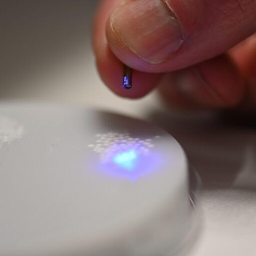
In the most recent expedition, a lidar machine was used to map unexcavated tunnels and tomb chambers in a matter of minutes. The instrument fired rapid pulses of laser light through the ancient tunnels, and a sensor measured the amount of time taken for each pulse to bounce back. By calculating the distances between the machine and the different surfaces in the tunnel, a 3D depiction of the structures could be obtained.
A variety of artefacts were also examined by using imaging techniques. This included an ancient pot with an image of a spider monkey painted onto it, which the team performed structure-from-motion (SfM) imagery on. The SfM technique involves creating a digital 3D picture by stitching together two dimensional photographs of the pot taken at multiple angles.
‘Images like the one of the spider monkey pot really helps archaeologists to visualise objects in 3D without needing to physically hold the object. This is also a great way to share the thrill of discovery with the public,’ project director Thomas Garrison from the University of Southern California.
SfM was also used to document a large mask in the shape of an anthropomorphic face that had been carved into the limestone wall of one of the temples.
While digital 3D capturing and rendering technology may now exist to help solve some of the mysteries of the Maya, getting such imagery of El Zotz poses several challenges. The site is in the middle of a rain forest; therefore the rain limits access to the tunnels for 10 months out of the year.
And, many of the monuments in the site are hidden under the dense Guatemalan jungle. ‘While people have found a lot of the big sites in this area where there are large temples, we know there are structures that are not tall enough to easily be found,’ said QI principal design engineer Curt Schurgers. ‘Up until now, exploration has mostly been done on foot, but that’s difficult because the jungle is so thick. Most of this civilisation is buried under the tree canopy, and some of these trees are more than 200 feet tall.’
To overcome this challenge, the QI team are planning to equip a drone with a lidar laser to capture and recreate a 3D digital reconstruction of El Zotz and the surrounding area, which they plan to start using during the dry season next year.
‘When you shoot lasers down through trees, some points of the temple sites are going to be visible, the same way some areas of the sky are going to be visible through the tree canopy when you’re looking up,' Kastner explained.
Another advantage of using a drone is the cost efficiency. The team previously attempted to do aerial lidar by using a commercial airplane and hiring a pilot to fly in patterns over the site, but it was cost-prohibitive. ‘You don’t want to spend hundreds of thousands of dollars doing manned aerial lidar only to not find anything, so they would have to fly over sites they already knew were there,’ Schurgers pointed out.
Related Stories
Mysteries of Stonehenge revealed by laser mapping
Laser scanning helps researchers see the wood for the trees
Further Information
University of California, San Diego