Apart from being one of the key technologies in enabling autonomous vehicles, lidar is gradually moving into other applications. Perhaps more of an unusual use is in speeding up the search for clues during crime scene investigations, which was demonstrated in a study published this month in Forensic Science International.
Geospatial researchers with the Department of Energy’s Oak Ridge National Laboratory and forensic scientists at University of Tennessee used laser scanning and 3D modelling techniques to detect telltale signs of recently buried human remains.
The team’s method could complement existing technologies and procedures currently used in forensic casework, including pedestrian surveys that rely solely on the naked eye and ground-penetrated radar (GPR).
'Unmarked graves are difficult to locate once the ground surface no longer shows visible evidence of disturbance, which poses significant challenges in finding missing persons,' said Katie Corcoran of ORNL’s Geographic Information Science and Technology group who led the study.
Law enforcement and others surveying an area who rely on their vision alone may not notice unmarked human graves because their surfaces are often camouflaged by grass or weeds, leaf litter or other debris. GPR is useful to detect subsurface abnormalities but is limited in how much area it can survey. In addition, with the GPR technique, investigators must already know the approximate locations of a suspected grave.
However, remote sensors like lidar can be operated from a standoff distance, allowing investigators to cover more area in their search.
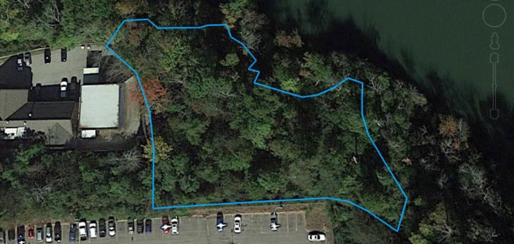
Corcoran partnered with colleagues and students with the Forensic Anthropology Center at UT Knoxville who prepared a site with three human graves of varying sizes, including one mass grave; one control pit and surrounding undisturbed ground.
Using a tripod-mounted terrestrial lidar sensor, the team scanned the test area four times over a 21-month period, picking up millions of data points that collectively painted a digital picture of what was happening at the ground’s surface. The sensor returned a 3D coordinate that is representative of the object encountered in the field. All the disturbed surfaces exhibited measurable and localised elevation change, allowing for separation of disturbed and undisturbed ground.
'We analysed the sensor data from all four scans and compared changes in the elevation of the ground’s surface - changes that were caused by disturbances of the soil as the bodies were decomposing,' Corcoran said.
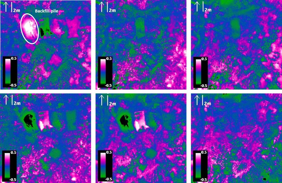
An ORNL-led research team was the first to quantify the differences in elevation of disturbed ground. Credit: Katie Corcoran/Oak Ridge National Laboratory, US Dept. of Energy
'Our study is the first to quantify the differences in elevation and demonstrates the future potential benefit of incorporating terrestrial lidar into existing data-collection approaches to locate unmarked graves,' she added.
The study also highlighted the importance of remote sensing technologies such as lidar for humanitarian contexts.
'This study helps forensic human rights investigators better understand the geophysical signature of graves, because it reduces the amount of time a team must be on the ground in active conflict situations,' said Dawnie Steadman, director of the Forensic Anthropology Center at UT.
The paper’s coauthors included Katie Corcoran of ORNL and UT; Amy Mundorff of UT; Devin White of ORNL, UT and Sandia National Laboratories; and Whitney Emch of The National Geospatial-Intelligence Agency. Corcoran is part of ORNL’s Computational Sciences and Engineering Division.
Funding for the study was provided by the Army Research Office and the Defense Biometrics and Forensics Office.
