Chinese researchers have developed a Doppler lidar system that could lead to better anticipation of hurricane formation and movement, enabling earlier evacuation warnings
The devastation across the United States and the Caribbean from hurricanes Harvey and Irma will take many billions of dollars and potentially years to overcome. Hurricane Harvey in Houston, for example, saw hospitals evacuated, some residents trapped in their homes while water rose up to their chests, and civilians with boats rescuing one another as emergency services along the Texas coast were overwhelmed. Even this week the entire island of Puerto Rico has been left without power in the wake of hurricane Maria.
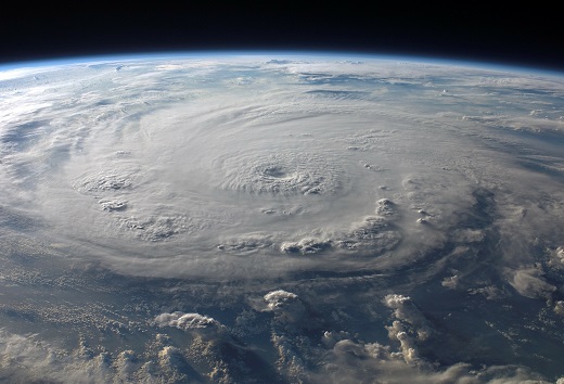
Real time wind measuring tools could soon be mounted to satellites to help scientists better understand how hurricanes form from space.
Real time wind measuring tools are being developed to help scientists better understand how hurricanes form, and provide information that meteorologists can use to pinpoint landfall earlier, giving people more time to prepare and evacuate.
Accurate wind data is also essential for determining safe flying conditions for aircraft, calculating the structural requirements of large bridges and buildings, understanding how pollution moves through the air, and determining how wind turbines can be operated more efficiently.
However, existing high-accuracy wind measurement systems can often be expensive and difficult to operate, leading to gaps in the application of these technologies in situations where they would otherwise be useful.
Researchers at the University of Science and Technology of China (USTC) have developed a new remote sensing instrument based on lidar that could offer a simple and robust way to measure wind speeds more accurately.
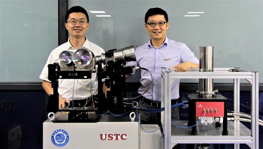
Mingjia Shangguan and Haiyun Xia from the University of Science and Technology of China were part of a research team that developed a new Doppler lidar system for accurately measuring the wind. (Credit: Quantum LIDAR Laboratory)
‘We have demonstrated a Doppler wind lidar with a simplified optical layout that also substantially enhances the system stability,’ confirmed Xiankang Dou, leader of the research team at USTC. ‘Although specialists are typically needed to operate and maintain a sophisticated Doppler lidar, we are confident we can develop our approach into a system that will be as easy to use as a smartphone.’
In The Optical Society’s (OSA’s) journal Optics Letters, the researchers showed that their Doppler wind lidar system was able to measure horizontal wind speed with high accuracy consistently over a 10-day test period. The stability and accuracy of the new system, according to the team, represents a substantial improvement compared to previously developed direct detection Doppler wind lidars, and could enable the device to be deployed in a range of formats.
‘As hurricane Harvey approached the United States, hurricane hunters flew directly into the storm and dropped sensors to measure wind speed,’ said Dou. ‘Our Doppler lidar instrument can be used from a plane to remotely measure a hurricane’s wind with high spatial and temporal resolutions. In the future, it could even make these measurements from aboard satellites.’
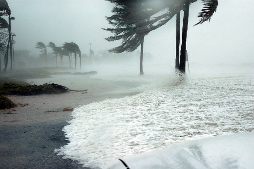
Hurricane Maria has recently left the entire island of Puerto Rico without power due to wind speeds upwards of 120mph
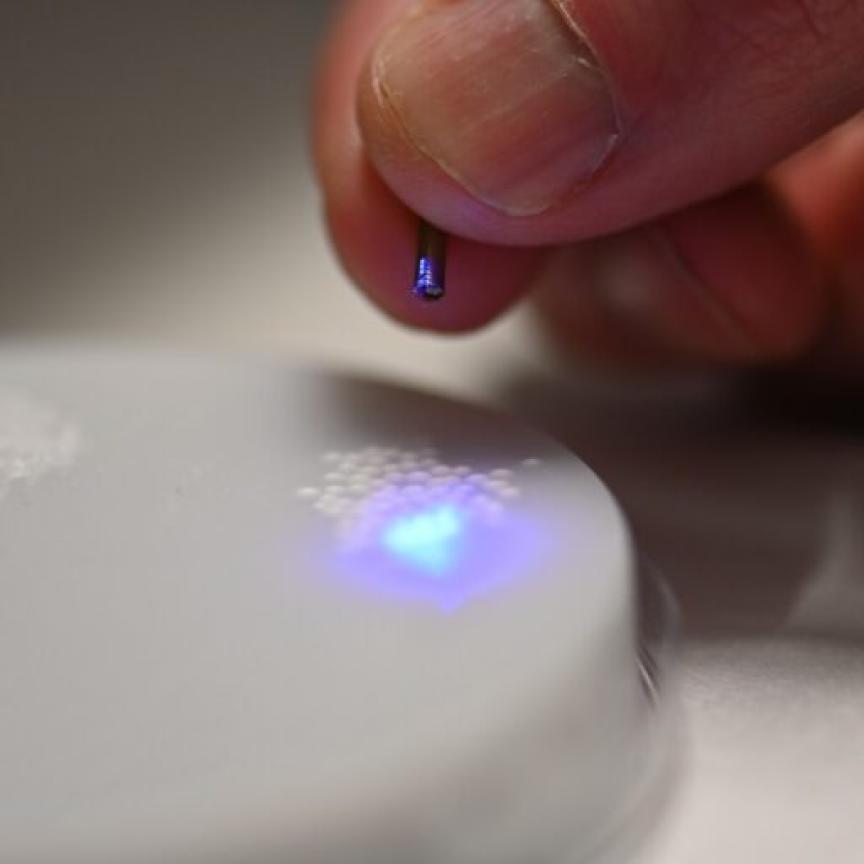
The system comprises a dual frequency direct detection Doppler wind lidar that uses a single laser emitting 1.5µm light. When measuring wind, the laser pulse propagates through the atmosphere and interacts with the molecules, causing a fraction of the signal to scatter back towards the instrument. Any wind movements in the molecules are then detected by the device via the Doppler shift they cause. A single-channel Fabry-Perot interferometer is then used to convert this Doppler shift into photon number variations, which, in combination with a superconducting nanowire single photon detector (SNSPD) – one of the fastest detectors available for single photon counting – improves the capability of the system above those featuring InGaAs avalanche photodiodes typically used to detect 1.5µm light.
‘The high detection efficiency and low dark count rate of the SNSPD means that the weak signal from the backscattered light can be detected with a high signal-to-noise ratio,’ explained Haiyun Xia, the principle investigator of the Quantum Lidar Laboratory at USTC. ‘Another attractive feature of the SNSPD is its high maximum count rate, which helps avoid detector saturation.’
In testing, the new system’s measurements varied by less than 0.2 metres per second over 10 days in the lab. It was then taken outdoors and compared to an ultrasonic wind sensor – a non-remote system – using horizontal wind measurements. On average, the lidar measurements were within 0.1 metres per second and one degree of the ultrasonic results for wind speed and direction respectively.
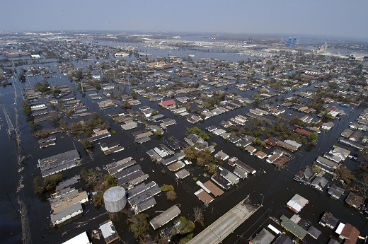
The flooding and structural damage caused by hurricanes Harvey and Irma will cost billions of dollars and potentially years to overcome.
The 1.5µm wavelength of the system is also commonly used by optical communication networks, meaning a wide range of commercially available fibre-optic components could be used by the researchers to build the device, and to do so using an all-fibre design. In doing this, the researchers could make the instrument robust against vibrations and rough operation handling, while also making it much easier to configure and align each component and lowering the amount of light lost within it. Lastly, thanks to simplicity of the design, once initialised, the Doppler lidar requires no calibration.
The wavelength of the system is also ideal for atmospheric wind sensing from space, as compared to the UV and visible wavelengths it shows less susceptibility to atmospheric disturbance and optical contamination from the sun and other sources. This could enable the team to attach the instrument to a satellite, which would provide numerous benefits over ground based measurement systems.
‘Space-borne Doppler wind lidar is now regarded as the most promising way to meet the need for global wind data requirements and to fill gaps in the wind data provided by other methods,’ confirmed Xia.
The researchers are now working to improve the spatial resolution of the Doppler wind lidar system and want to make it even more practical to use in the field. They have also founded a company to further develop the system, with plans to commercialise the device next year.
Related news
Lidar to monitor wind patterns across world's longest floating bridge